Strategic geography
Key sites in North Korea
Where the bombs are made, where the missiles launch from, where power sits and where people cross the border.
Nuclear 4
Reactors, enrichment, test site, uranium
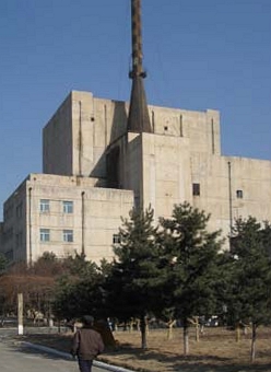 NuclearYongbyon nuclear complex
The heart of the nuclear program: reactors that make plutonium, a reprocessing plant and a uranium enrichment hall.
© Esri, Maxar NuclearKangson enrichment site
Suspected covert uranium enrichment plant near Pyongyang. Kim Jong Un visited an enrichment facility in 2024 in a rare public photo-op.
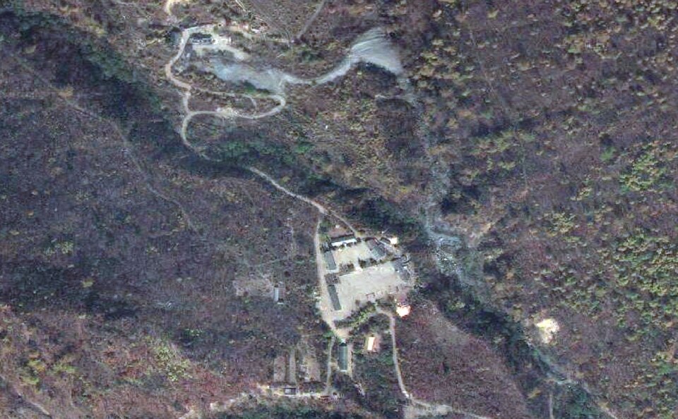 NuclearPunggye-ri nuclear test site
All six nuclear tests (2006-2017) happened here. Tunnels were blown up for cameras in 2018, then repaired.
© Esri, Maxar NuclearPyongsan uranium mill
Mines and processes uranium ore into yellowcake, the raw material for the enrichment program.
Missile & space 14
Launch sites, test grounds, submarine base
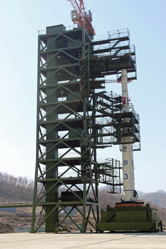 Missile & spaceSohae Satellite Launching Station
Main space launch site, also used for rocket engine tests. Launched the Malligyong-1 spy satellite in 2023.
© Esri, Maxar Missile & spaceTonghae Satellite Launching Ground
East coast launch site used for early long-range rocket tests (1998, 2006, 2009).
© Esri, Maxar Missile & spaceSinpo shipyard
Submarine base and shipyard where submarine-launched ballistic missiles (Pukguksong) are built and tested.
© Esri, Maxar Missile & spaceKusong testing ground
Inland missile test area used for Hwasong-12 and other launches.
© Esri, Maxar Missile & spaceSunan (Pyongyang airport)
Pyongyang’s international airport doubles as an ICBM launch pad. Several Hwasong-15 and -17 shots were fired from here.
© Esri, Maxar Missile & spaceSinpung Missile Operating Base
Approximately 27 kilometers from the China-North Korean border, the Sinpung-dong Missile Operating Base is an undeclared North Korean missile base.
© Esri, Maxar Missile & spaceYongnim Missile Operating Base
Located 242 kilometers north of the demilitarized zone and only 65 kilometers from the Chinese border, the Yongnim Missile Operating Base is an undeclared ballistic…
© Esri, Maxar Missile & spaceHoejung Missile Operating Base
Located 338-kilometers north of the demilitarized zone and only 25-kilometers from the Chinese border in Chagang Province, the Hoejung-ni missile operating base…
© Esri, Maxar Missile & spaceYusang Missile Operating Base
Located 150 kilometers north of the DMZ, North Korea's Yusang-ni missile operating base is one of the more recently constructed Strategic Force missile operating…
© Esri, Maxar Missile & spaceKal Missile Operating Base
Located approximately 52 kilometers north of the DMZ and 125 kilometers north of Seoul, the Kal-gol missile operating base is one of the most developed of North…
© Esri, Maxar Missile & spaceKumchon Missile Operating Base
New CSIS Beyond Parallel imagery shows the undeclared Kumchon-ni missile operating base. This is the first comprehensive public description of the base. During…
© Esri, Maxar Missile & spaceSangnam Missile Operating Base
Located 250 kilometers north of the DMZ, Sangnam-ni missile operating base is an operational missile base that houses a battalion- or regiment-sized unit equipped…
© Esri, Maxar Missile & spaceSino Missile Operating Base
Located 212 kilometers north of the DMZ, Sino-ri is an operational missile base that houses a regiment-sized unit equipped with Nodong-1/-2 medium-range ballistic…
© Esri, Maxar Missile & spaceSakkanmol Missile Operating Base
Sakkanmol is an undeclared North Korean operational missile base for short-range ballistic missiles (SRBMs) and is one of approximately 20 undeclared missile sites…
Regime 3
Seats and symbols of power in Pyongyang
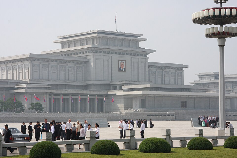 RegimeKumsusan Palace of the Sun
Mausoleum where the embalmed bodies of Kim Il Sung and Kim Jong Il lie in state.
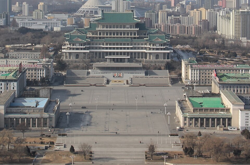 RegimeKim Il Sung Square
Site of the military parades where new missiles are often shown for the first time.
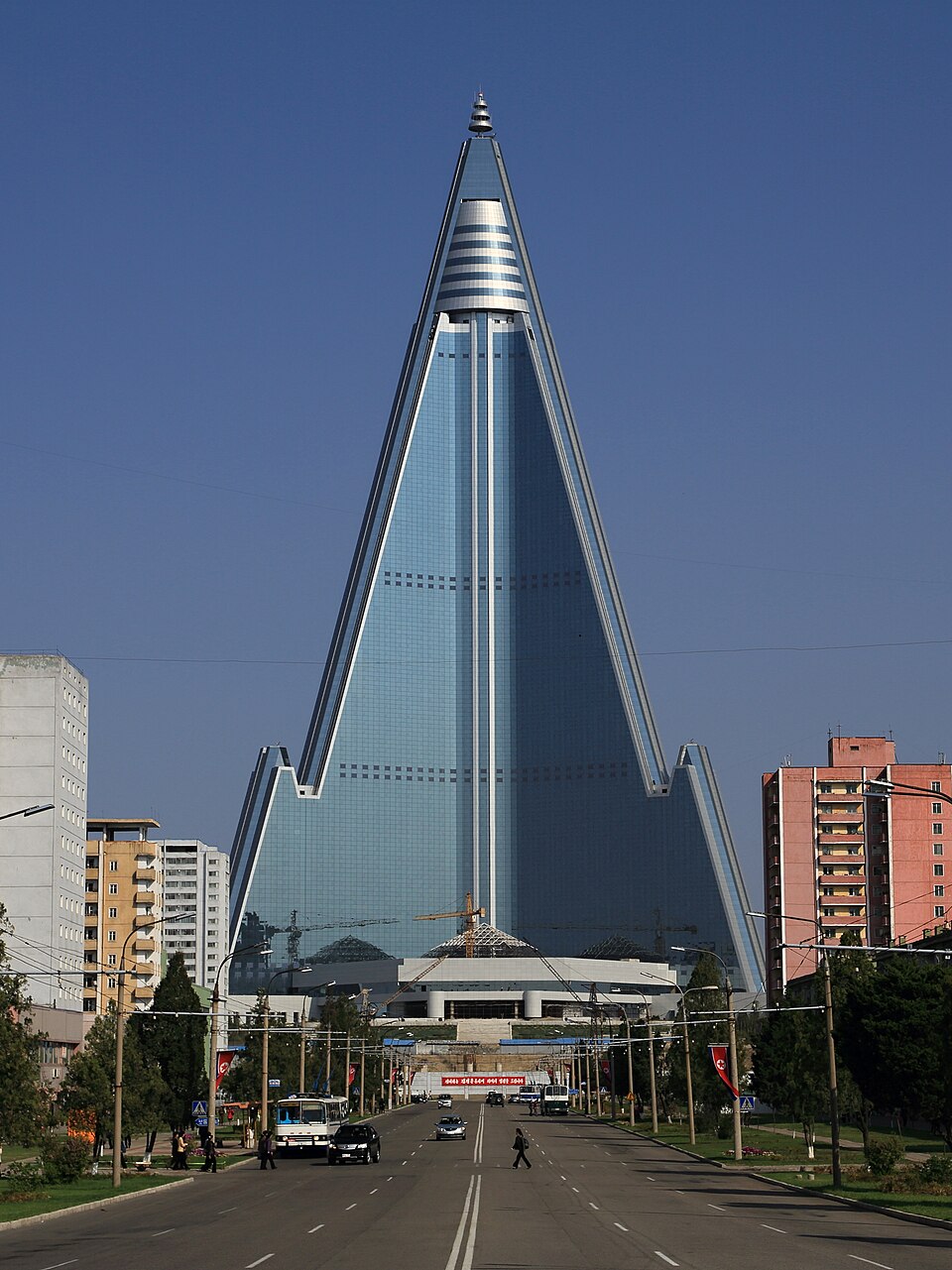 RegimeRyugyong Hotel
105-story pyramid started in 1987 and still not open. A symbol of the regime’s priorities.
Border & crossings 5
Where people cross into China, and the DMZ
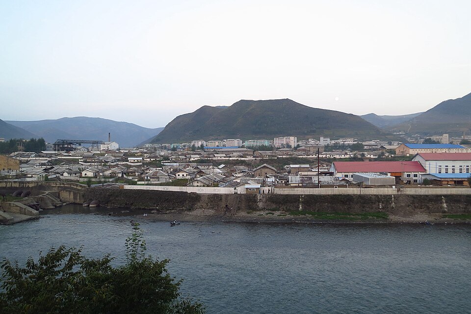 Border & crossingsHyesan
Border city on the Yalu, across from China’s Changbai. Historically a major smuggling and crossing point, now heavily fenced.
© Esri, Maxar Border & crossingsMusan
Mining county on the Tumen River, a common crossing area. Several well-known escapees came from here.
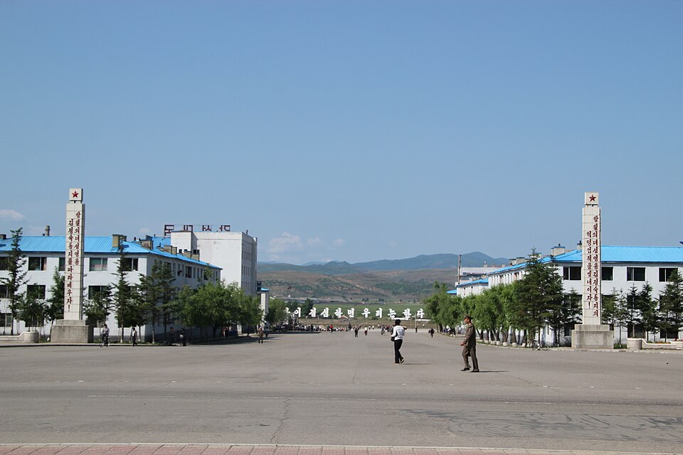 Border & crossingsHoeryong
Border city on the Tumen. The river is narrow here, so it was a frequent crossing point before new fences went up after 2020.
© Esri, Maxar Border & crossingsSinuiju–Dandong bridge
The Friendship Bridge over the Yalu. Most legal trade with China goes through here, and so does a lot of smuggled media.
 Border & crossingsPanmunjom (Joint Security Area)
The truce village in the DMZ. A soldier escaped across it under fire in 2017.
Economy 4
Mines, zones and showcase projects
© Esri, Maxar EconomyMusan iron mine
One of the largest open-pit iron mines in Asia. Ore exports to China were a big source of hard currency before sanctions.
 EconomyKaesong Industrial Region
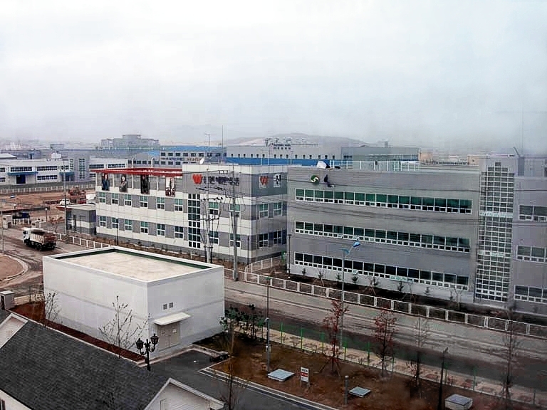
Joint zone where South Korean companies employed over 50,000 North Korean workers. Shut down in 2016. The North blew up the nearby liaison office in 2020.
© Esri, Maxar EconomyWonsan-Kalma resort
Beach resort Kim Jong Un pushed for years, opened in 2025 mostly for Russian tourists. Also near a common missile launch area.
 EconomyRason special economic zone
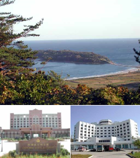
Free trade zone where North Korea borders both China and Russia. The rail and road link to Russia runs through here.